Recently a friend with no interest in genealogy (a “civilian”, to use the technical term) started sending me screenshots and links from the “British Royal Family History” website. He spent his early years in an English primary school and I sniff resurfacing imperial indoctrination.
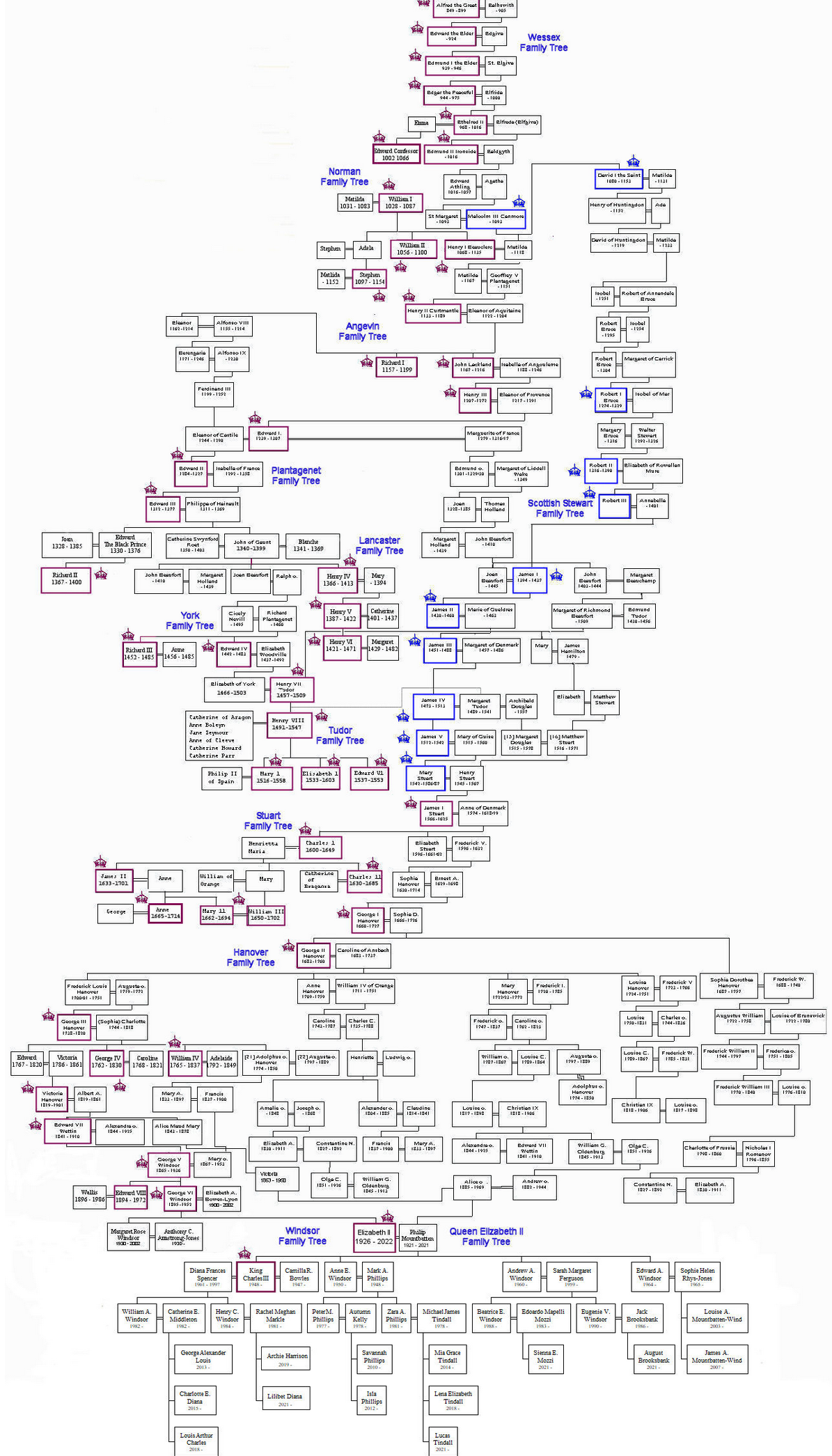
The pretext for sending them is awe at the sheer scale of the trees, but also at the legitimacy implied in that unbroken line of inheritance. Hmm. As a card-carrying Irish peasant begrudger, I can’t help noticing all the little gaps and hiccups. William the Conqueror sits there beneath the Anglo-Saxon Aelfreds and Ethelreds with no family connection whatsoever. I suppose the clue lies in the “Conqueror” bit.
William’s descendants, in-laws and distant cousins slaughtered, invaded and usurped each other for many’s the happy century thereafter. I particularly like the way James I cunningly got one of his great-grandfathers to marry the sister of Henry II, thus scooping the throne a century later.
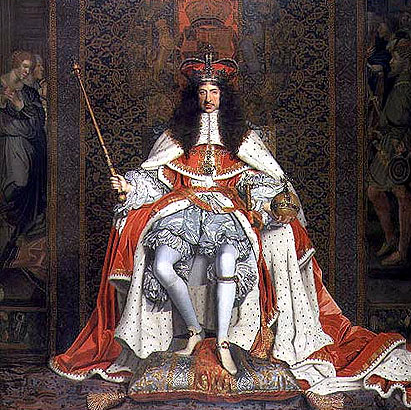
But the grand prize for rebranding must go to the “Glorious Revolution”. Because the royal inheritance lottery had thrown up a prize they disliked, the entirely dislikeable James II, the Great and Good of England ignored the rules of inheritance and ultimately slipped the monarchy to a biddable, non-English-speaking, minor German toff, George I, whose only claim was one Scottish granny. Hence the current lot, the Glorious Saxe-Coburg-Gothas of London and Netflix.
So the secret to passing on the crown appears to be judicious cousin marriage. I imagine being able to keep a straight face when talking about the divine right of kings wouldn’t hurt either. Have a look at some of the alternative, equally legitimate claimants.
Fun as it is to jeer at the neighbours, we have our own pedigree problem.
Where the Brits have only had (more or less) one royal family, we had hundreds of the damn things. Early medieval Ireland was plagued with dozens upon dozens of shifting little statelets, tuatha, each with its own elaborate aristocracy and royalty. Many of their boundaries were mapped by the English later, but they had problems describing them. They couldn’t be kingdoms, because that would make them equivalent to their own yoke across the Irish Sea. A few levels down the pecking order were Norman barons, consiglieri rather than capo di tutti capi, so they were picked as an equivalent for Irish kingdoms. The tuatha became baronies. Let’s be clear: as geographic entities, baronies exist nowhere outside Ireland and have no barons.
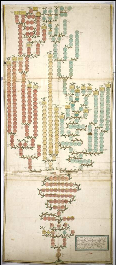 Having to keep track of so many aristocratic pedigrees propelled genealogists into the front rank of medieval Irish society (ahem) but also meant that huge numbers of people could claim royal descent. And they did, loudly and often. One of the Anglo-Irish stereotypes of the peasant Gaels was that every labourer in the field claimed to be descended from princes and kings. In truth, many were. And of course, many weren’t, because most of the traditional genealogies were packed with convenient political lies. A bit like the Saxe-Coburg-Gothas.
Add in the fact that after forty generations, a thousand years or so, a direct descendant of William the Conqueror will on average share 0.0000000001% of William’s DNA and the moral is that impressive pedigrees mean diddly-squat. In the immortal words of the bogus McCarthy Mór, we all remain “ignoble and enjoy neither place, position, nor gentility”.
Long live begrudgery.