Irish civil parishes are strange beasts. For good or ill, knowing about them is essential for Irish research.
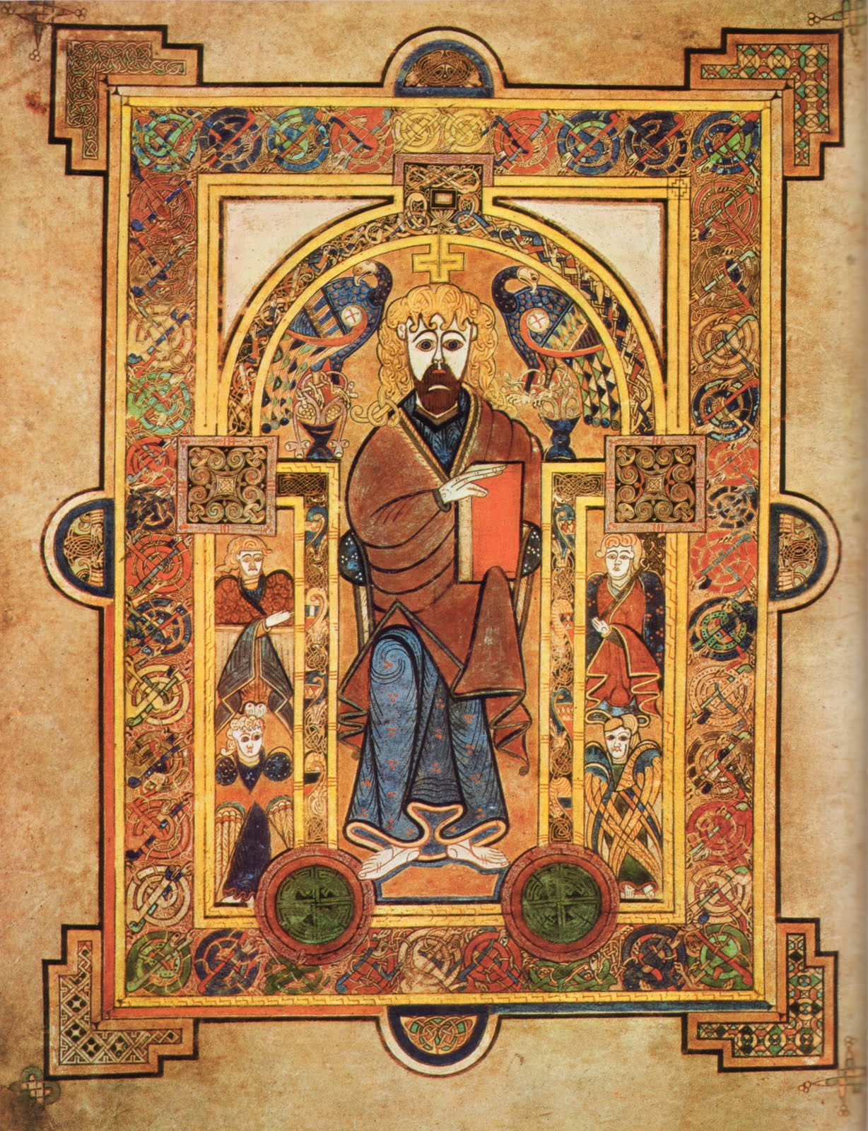
They came into existence, as simple parishes, after the twelfth century attempt to tame the exotic Irish church and bring it into line with Roman norms. As well as having scandalous marriage laws, outrageous hairstyles, deadly book illustrators and a peculiar way of calculating the date of Easter, the early Irish church disregarded the Imperial Roman territorial divisions of parishes and dioceses. We preferred vast monastic holdings that resembled secular kingdoms in power and wealth, and were passed on, like kingdoms, from father(-Abbot) to son(-Abbot).
We eventually had clerical celibacy, parishes and manners put on us by the Anglo-Normans.
Until the sixteenth century, however, parishes were only in widespread use in the English-controlled areas of the East. The Reformation in Tudor England transformed the Church there into an arm of the state, and then they conquered the entire island. As a result, a parish structure was finally extended country-wide and became the bailiwick of the Anglican Church in Ireland, the Church of Ireland. Because church and state were so intertwined, these parishes then also became the geographic basis of public administration, hence “civil” parishes. For two centuries from roughly 1700 to 1900, tax records, militia levies, rentals and censuses were all based on the civil parish.
Why bring this up now? Because we’ve just implemented a major upgrade to the civil parish maps on this site. Maps were always important, because you need to know where the blasted parishes are, as well as what townlands they contain and which other parishes adjoin them. But the old maps were a little … underwhelming. With the new ones, you can zoom in and out, see where the constituent townlands are and best of all enjoy the whole thing in glorious Candy-Crush colour.
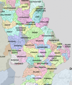
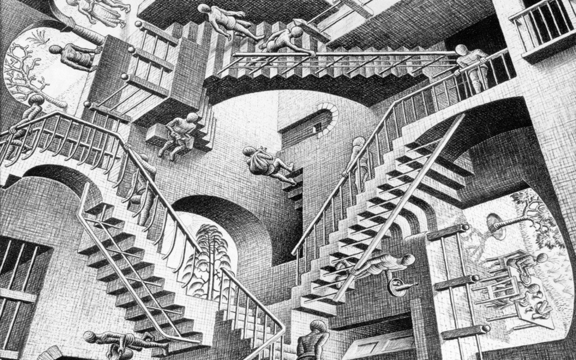
The colour began as an afterthought, but turned out to be a revelation. Many parishes have gained or lost townlands over the centuries and now consist of multiple separate areas. Colour makes the links between the various parts jump out. Have a look at Drumcolumb parish in Sligo, scattered in four distinct parts. Or my favourite, Shrule in Mayo, which incorporates a townland from the separate parish of Kilmainebeg, with that townland then incorporating a separate townland from Shrule. M.C Escher, eat your heart out.
All of this was only possible because of the wonderful work of OpenStreetMap, in particular the mappers behind www.townlands.ie, who made all their data open-source. For some extraordinary work by one of the people behind that site, have a look at Brian Hollinshead’s astonishing www.dublinhistoricmaps.ie. It is Map-Nut Nirvana. Not only does it include every single map of Dublin ever published, all overlaid on contemporary street plans, it also includes some extremely useful guides, for example to local registrars’ districts. As well as some deeply odd ones: Dublin Compressed Gas Filling Stations?
Once you begin to get a taste for this stuff …