Choose a subscription or Login.
Monthly subscription: $9.99
Full access for 31 days from the time of payment.

Annual subscription: $69.99
Full access for a calendar year from the time of payment.
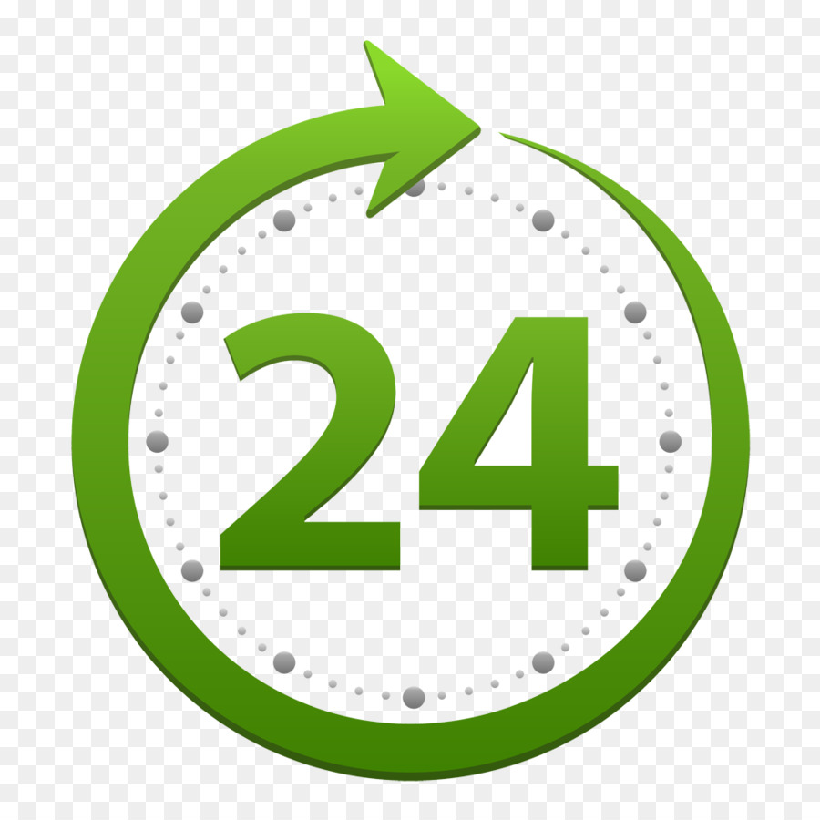
Full 24-hour access: $5.99
Full access for 24 hours from the time of payment.